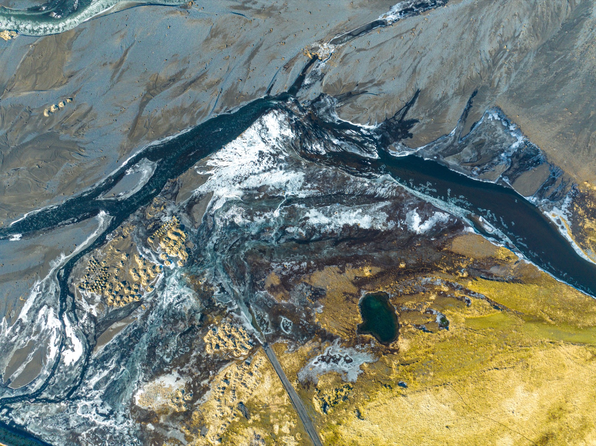
Make the case for a place with maps people can trust
Maps of the living world, built on commercially-clean open data with provenance on every layer - so a map you publish is a map others can cite.
A credible mapping toolkit, free to open
Shipped and free the moment you open the map. No license traps, no attribution guesswork.
Open ecological and geographic layers
Available nowTurn on curated land-cover, terrain, imagery, water, and nature layers - all vetted as commercially-clean.
Provenance on every layer
Available nowThe Cartouche travels with the map: each dataset shows its source and licensing, so anyone can check your work.
Intelligent search
Available nowAsk in plain language and watch the map move, surface the right layers, and answer - including species-range overlays.
Share any view
Available nowSend a link to exactly what you are looking at - the map opens right there, layers and all.
Commercially-clean by design
Available nowWe exclude non-commercial and credit-metered sources, so your reports, campaigns, and grants are safe to publish.
Cited, reproducible exports
Early accessCited-map exports with a short Map Code let others reopen the exact same view and sources - rolling out in early access.
Every layer shows its source
Provenance built in, not bolted on
Available nowConservation arguments get challenged. Cartian keeps each layer's dataset, source, and license visible through the Cartouche, so a funder, reviewer, or reporter can see exactly what your map is built on - and trust it.
- Commercially-clean sources only - no CC-BY-NC, no credit-metered data
- Correct attribution attached to each layer automatically
- Open land-cover, terrain, water, and species-range data
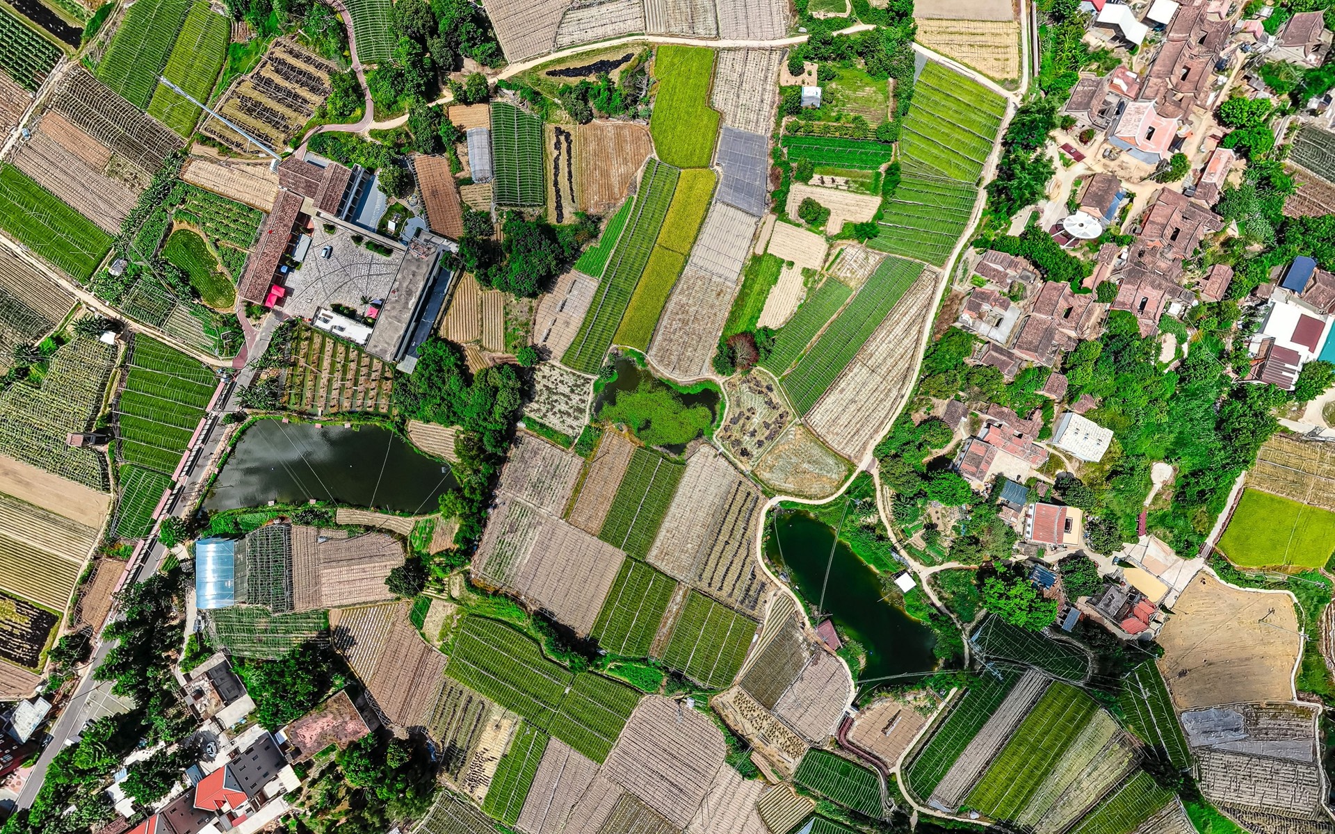
Maps others can reopen and cite
A citable map, with a Map Code
Early accessThe North Star of Cartian: a published map that anyone can reopen exactly as you made it - same view, same layers, same sources - by a short Map Code. Think of it as a DOI for a map. It is the credibility standard conservation reporting has been missing.
- A short, shareable code resolves to the exact map
- View, layers, and sources are pinned and reproducible
- Built for reports, campaigns, and peer scrutiny
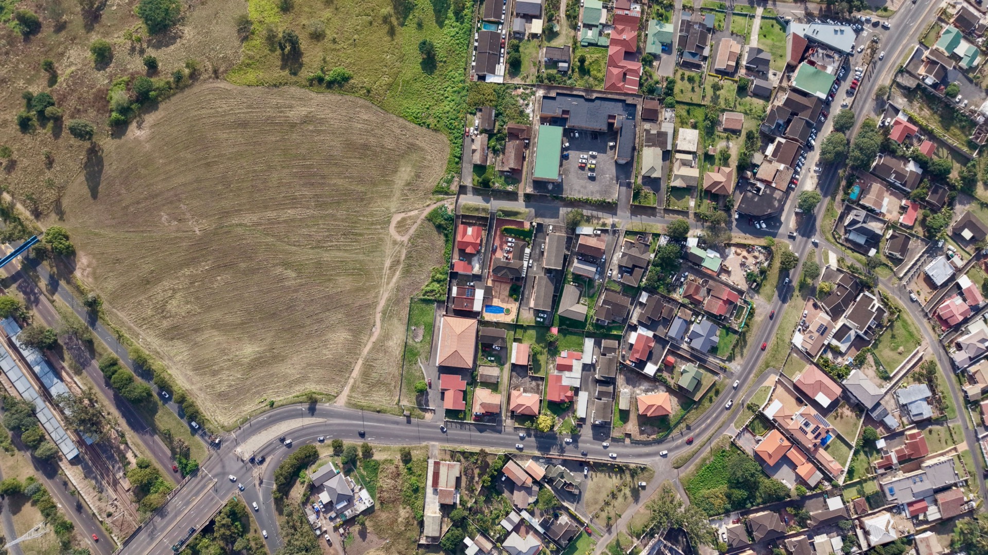
From a question to a map you can defend
Open the map
Available nowStart free in the browser - no install. Pan and zoom to the place you are working to protect.
Layer the evidence
Available nowTurn on commercially-clean land-cover, terrain, water, and species-range layers, or ask the search to surface them for you.
Check the provenance
Available nowOpen the Cartouche to see each layer's source and license - the receipts that make your map credible.
Publish a citable map
Early accessShare a link today; cited-map exports with a Map Code that others can reproduce are in early access.
What a Cartian map looks like
The living-world surface itself, built on commercially-clean data.
Common questions
Is Cartian free for conservation groups?
Opening and exploring the map is free, including the open ecological and geographic layers and the intelligent search. Cited-map exports for reports and campaigns are in early access.
Can I use Cartian maps commercially, in a published report or a fundraising campaign?
Yes. Cartian is built on commercially-clean open data - we exclude non-commercial and credit-metered sources so the maps you make are safe to publish, print, and share. Each layer shows its source so you can attribute it correctly.
How does Cartian show where its data comes from?
Every layer carries visible provenance through the Cartouche: the dataset, its source, and its license travel with the map. A reviewer, funder, or journalist can see exactly what a map is built on.
Do you have species range or habitat layers?
Cartian includes open, commercially-clean nature and land-cover layers, plus species-range overlays the intelligent search can surface onto the map. They come from openly-licensed datasets, never credit-metered or non-commercial range data that would limit how you publish.
Can other people reproduce a map I publish?
Reproducible, citable maps are the core of what we are building. Cited-map exports with a short Map Code - so anyone can open the exact same view, layers, and sources - are rolling out in early access.
Can I embed a Cartian map on our website or in a story?
Sharing a link to any exact view is live today. Embeddable interactive maps for your site or a story are shipping - tell us your use case and we will point you to the current embed path.
How do I join the early-access program?
Email the team through the request-a-demo link on this page. We onboard conservation organizations and agencies in small groups so every partner gets hands-on setup for their datasets and campaigns.
Made for every audience
Cartian for teachers
A free interactive map for the classroom - with whiteboard mode, class pairing, and review quizzes on the way.
Cartian for museums
Turn a big screen or kiosk into an explorable, hands-on map of your collection and its world.
Cartian for creators
Shareable, embeddable interactive maps for your videos, blogs, and group chats.
Cartian for newsrooms
Cited maps with visible provenance - every layer sourced, every view reproducible.
Map the living world, and let others cite it
Open the interactive map free today, or request a demo of the cited-map exports and Map Code built for conservation reporting.
The map and its commercially-clean layers are free to open. Cited-map exports are in early access.