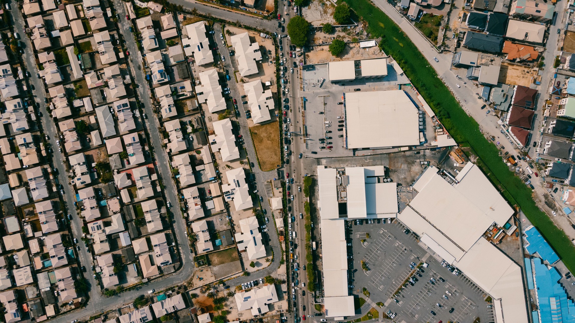
Admin boundaries
Free, already-hosted, public-domain global boundaries: country outlines (Natural Earth Admin 0, 1:110m) plus state / province outlines (Admin 1, 1:50m), fetched as static GeoJSON from the canonical Natural Earth mirror (CORS-open). Cost-lean painted overlay chosen over geoBoundaries CGAZ, whose only hosted global file is a ~401MB Git-LFS blob (not client-lean). Tap a unit for its name. The Wand's country / ADM1 admin CONTEXT is served separately (and additively) by src/lib/wand/sources/boundaries-global.ts.
Free, already-hosted, public-domain global boundaries: country outlines (Natural Earth Admin 0, 1:110m) plus state / province outlines (Admin 1, 1:50m), fetched as static GeoJSON from the canonical Natural Earth mirror (CORS-open). Cost-lean painted overlay chosen over geoBoundaries CGAZ, whose only hosted global file is a ~401MB Git-LFS blob (not client-lean). Tap a unit for its name. The Wand's country / ADM1 admin CONTEXT is served separately (and additively) by src/lib/wand/sources/boundaries-global.ts.
Cartouche · Provenance
Admin boundaries
Source
Method
License
Attribution
Coordinate system
Freshness
Cite as
Version
Pin