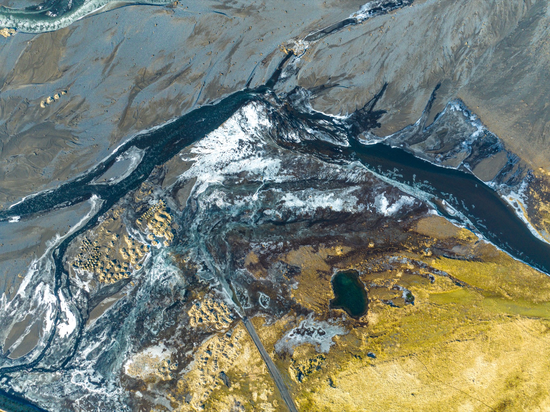
Water - Maps & datasets
Seafloor and land relief
GMRT (Global Multi-Resolution Topography) colour-shaded relief of land and seafloor.
What this shows
GMRT (Global Multi-Resolution Topography) colour-shaded relief of land and seafloor.
Coverage (inferred)
Worldwide
Freshness
See source
License
CC-BY 4.0
Source
GMRT
Provenance
Cartouche · Provenance
Seafloor and land relief
Source
GMRT - global multi-resolution relief (CC-BY)
Method
Published dataset
License
CC-BY 4.0Commercial OK
Attribution
Relief: Global Multi-Resolution Topography (GMRT) synthesis (CC-BY 4.0)
Coordinate system
EPSG:4326
Freshness
See source
Cite as
cartian:layer:ml-gmrt-relief@ref-c2b497cd
Version
vref-c2b497cd
Pin
As-of referencefrozen 2026-07-18
More water layers