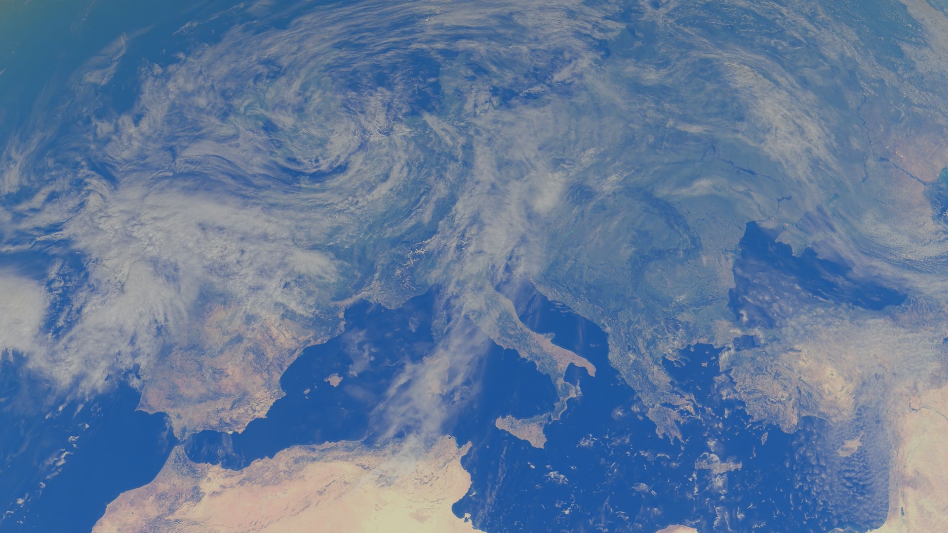
Watches, warnings and advisories
Live NWS watches, warnings and advisories.
WeatherLive data
On your shelf
GDACS (UN/EC Global Disaster Alert and Coordination System) current disaster events - earthquakes, floods, cyclones, volcanoes, droughts, wildfires - each with a calibrated green/orange/red alert level.
GDACS (UN/EC Global Disaster Alert and Coordination System) current disaster events - earthquakes, floods, cyclones, volcanoes, droughts, wildfires - each with a calibrated green/orange/red alert level.
Cartouche · Provenance
Source
Method
License
Attribution
Coordinate system
Freshness
Cite as
Version
Pin
Live NWS watches, warnings and advisories.